GRASS GIS 7.4.0 released
GRASS GIS 7.4.0 released
We are pleased to announce the GRASS GIS 7.4.0 release
 \
\
What’s new in a nutshell
After a bit more than one year of development the new update release GRASS GIS 7.4.0 is available. It provides more than 480 stability fixes and improvements compared to the previous stable version 7.2. An overview of the new features in the 7.4 release series is available at New Features in GRASS GIS 7.4.
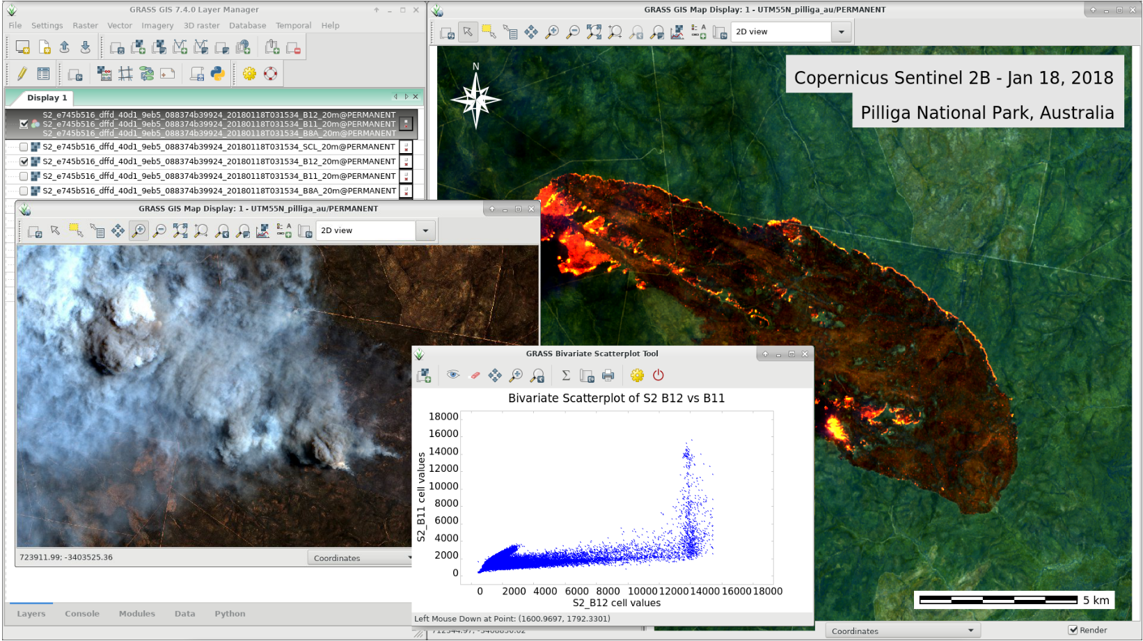
Efforts have concentrated on making the user experience even better, providing many small, but useful additional functionalities to modules and further improving the graphical user interface. Users can now directly download pre-packaged demo data locations in the GUI startup window. Several modules were migrated from addons to the core GRASS GIS package and the suite of tools for ortho-rectification was re-implemented in the new GRASS 7 GUI style. In order to support the treatment of massive datasets, new compression algorithms were introduced and NULL (no-data) raster files are now also compressed by default. For a detailed overview, see the list of new features. As a stable release series, 7.4.x enjoys long-term support.
Binaries/Installer download:
- winGRASS 7.4.0: 32bit standalone installer | 64bit standalone installer
- winGRASS 7.4.0 OSGeo4W: 32bit OSGeo4W installer | 64bit OSGeo4W installer
- Debian
- EPEL6 (CentOS6, RHEL6, ...)
- Fedora and EPEL7 (CentOS7, RHEL7, ...)
- ubuntugis-unstable (Ubuntu LTS - Xenial, Trusty)
- grass-stable (Ubuntu non-LTS - Zesty)
- *... further binary packages for other Linux distributions and Mac
OSX will follow shortly, please check at software
downloads.
*
Source code download:
- https://grass.osgeo.org/grass74/source/
- https://grass.osgeo.org/grass74/source/grass-7.4.0.tar.gz
- To get the GRASS GIS 7.4.0 source code directly from SVN, see here.
More details:
See also our detailed announcement:
https://trac.osgeo.org/grass/wiki/Release/7.4.0-News
https://trac.osgeo.org/grass/wiki/Grass7/NewFeatures74 (overview of new 7.4 stable release series)
https://grass.osgeo.org/grass7/manuals/addons/
(list of available addons)
First time users may explore the first steps
tutorial after
installation.
About GRASS GIS
The Geographic Resources Analysis Support System (https://grass.osgeo.org/), commonly referred to as GRASS GIS, is an Open Source Geographic Information System providing powerful raster, vector and geospatial processing capabilities in a single integrated software suite. GRASS GIS includes tools for spatial modeling, visualization of raster and vector data, management and analysis of geospatial data, and the processing of satellite and aerial imagery. It also provides the capability to produce sophisticated presentation graphics and hardcopy maps. GRASS GIS has been translated into about twenty languages and supports a huge array of data formats. It can be used either as a stand-alone application or as backend for other software packages such as QGIS and R geostatistics. It is distributed freely under the terms of the GNU General Public License (GPL). GRASS GIS is a founding member of the Open Source Geospatial Foundation (OSGeo).
The GRASS Development Team, Feb 2018