GRASS GIS 7.8.4 released
What’s new in a nutshell

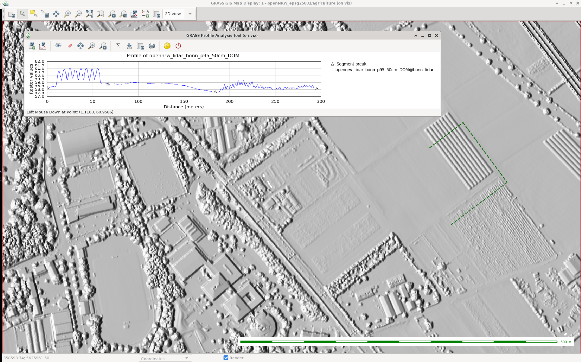
As a follow-up to the previous GRASS GIS 7.8.3 we have published the new release GRASS GIS 7.8.4 with more than 170 improvements. This minor release again focuses on wxGUI fixes, especially in the animation export, the layer management, 3D visualization and the data catalogue. Many display modules received fixes as well, and the vector digitizer now works as expected.
The overview of new features in the 7.8 release series is available at new features in GRASS GIS 7.8. See also our detailed announcement with the full list of changes and bugs fixed at https://trac.osgeo.org/grass/wiki/Release/7.8.4-News.
Binaries/Installer download:
- winGRASS 7.8.4/standalone: 32bit standalone installer | 64bit standalone installer
- winGRASS 7.8.4/OSGeo4W: 32bit OSGeo4W installer | 64bit OSGeo4W installer
- Mac
- Linux
- Debian
- Fedora/Centos/EPEL
- Ubuntu
- … further binary packages for other Linux distributions will follow shortly, please check at software downloads
Source code download:
- https://grass.osgeo.org/grass78/source/
- https://grass.osgeo.org/grass78/source/grass-7.8.4.tar.gz
- To get the GRASS GIS 7.8.4 source code directly from GitHub, see here.
First time users may explore the first steps tutorial after installation.
About GRASS GIS
The Geographic Resources Analysis Support System (https://grass.osgeo.org/), commonly referred to as GRASS GIS, is an Open Source Geographic Information System providing powerful raster, vector and geospatial processing capabilities. It can be used either as a stand-alone application or as backend for other software packages such as QGIS and R geostatistics or in the cloud. It is distributed freely under the terms of the GNU General Public License (GPL). GRASS GIS is a founding member of the Open Source Geospatial Foundation (OSGeo).
The GRASS Development Team, Oct 2020