Annual Report 2023

2023 has been an amazing year in the advancement of the GRASS GIS project, which celebrated its 40th birthday! As the year draws to a close, let’s look back at some of the achievements of the GRASS community.
Community Meeting
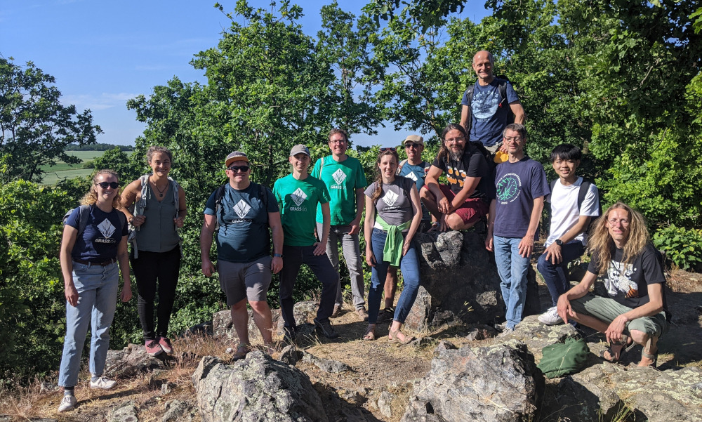
The GRASS GIS Community Meeting held at the Faculty of Civil Engineering of the Czech Technical University in Prague during the first days of June brought together users, supporters, contributors, power users and developers to celebrate, collaborate and chart the future of GRASS GIS. Thanks to the generous funding from OSGeo, FOSSGIS e.V., OSGeo.JP, and others, we were able to welcome 17 in-person participants from 9 countries on 3 continents and 4 remote participants!
Moreover, in November, several members of the GRASS community were able to participate in-person and remotely in the OSGeo Community Sprint in Vienna!
Development Activity

In 2023, the maintainers published the 8.3.0 feature release and three maintenance releases (7.8.8, 8.2.1, and 8.3.1). The feature release brought, among other things, the single window layout in GUI by default, new support for parallelization in various raster modules, and several new options added to temporal modules.
GRASS developer community was able to create 418 pull requests (PRs), merge 387 PRs and solve 103 issues. Furthermore, 9 new addons were added by 7 contributors.
Kudos to the GRASS GIS top 5 code contributors (based on commits): Nicklas Larsson, Tomas Zigo, Markus Neteler, Vaclav Petras and Anna Petrasova. Thanks to the other 30 core developers and contributors that contributed PRs to the project! We are also excited to announce we welcomed a new core contributor, Edouard Choinière!
In December, Linda Karlovska was awarded a GRASS Student Grant to improve a new history browser panel in GRASS GUI. We are looking forward to the enhancements in 2024!
Conferences in 2023

GRASS GIS was represented at several events with talks or workshops led by community members!
In February, Vaclav Petras presented a talk Tips and Tricks for GRASS GIS 8.2 at the North Carolina GIS conference in Winston-Salem, NC, USA.
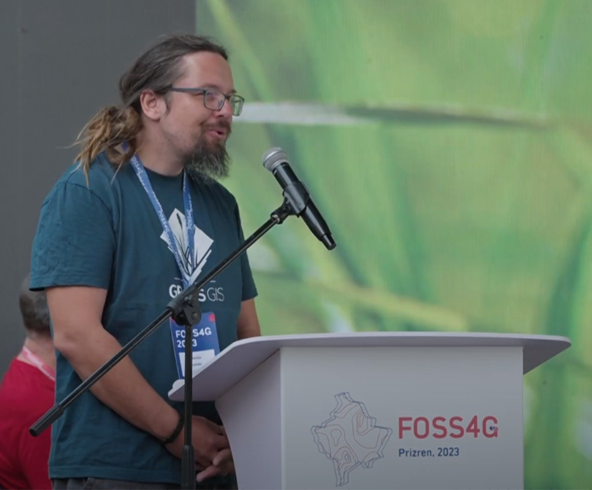
In June, Martin Landa gave a State of GRASS GIS talk at the global FOSS4G in Prizren, Kosovo.
At the end of August, Caitlin Haedrich and Anna Petrasova promoted GRASS GIS at the OpenGeoHub Summer School with a workshop on Parallelization of geoprocessing workflows in GRASS GIS and Python.
In October, a team from NC State University participated in FOSS4G North America in Baltimore with a series of talks and workshops:
- Parallelization Tips for Geoprocessing with GRASS GIS talk by Anna Petrasova
- GRASS GIS: Not What You Think talk by Vaclav Petras
- Computational Notebooks for Reproducible Geospatial Computation in Research and Education talk by Caitlin Haedrich
- Unlock the power of GRASS GIS workshop by Anna Petrasova and Caitlin Haedrich
- Develop Geospatial Workflows and Custom Tools with GRASS GIS workshop by Vaclav Petras and Corey White.
In November, Huidae Cho represented the GRASS community at FOSS4G Asia in Soul with his talk State of GRASS GIS: 40 Years Strong and Counting.
In December at The American Geophysical Union (AGU) Fall Meeting in San Francisco, GRASS GIS was highlighted in a number of posters and presentations covering a variety of topics including urban growth, flooding, or participatory modeling in the cloud.
GRASS GIS in Industry
OpenPlains Inc., a startup with strong use of GRASS GIS, was founded by Corey White. OpenPlains aims to make geospatial modeling and simulation more accessible, engaging and effective, thereby helping communities to better understand complex issues and create more equitable and sustainable outcomes.
A subaward is going to research software engineers Vaclav Petras and Anna Petrasova at North Carolina State University from an NSF grant awarded to Natrx, a leading climate tech company, to enhance GRASS GIS.
Check out the newly added commercial support page featuring several commercial support providers worldwide! The list now includes: Margosa Environmental Solutions Ltd, mundialis GmbH & Co. KG, Center for Geospatial Analytics at NC State University, and Kan Territory & IT.
GRASS GIS in Academia

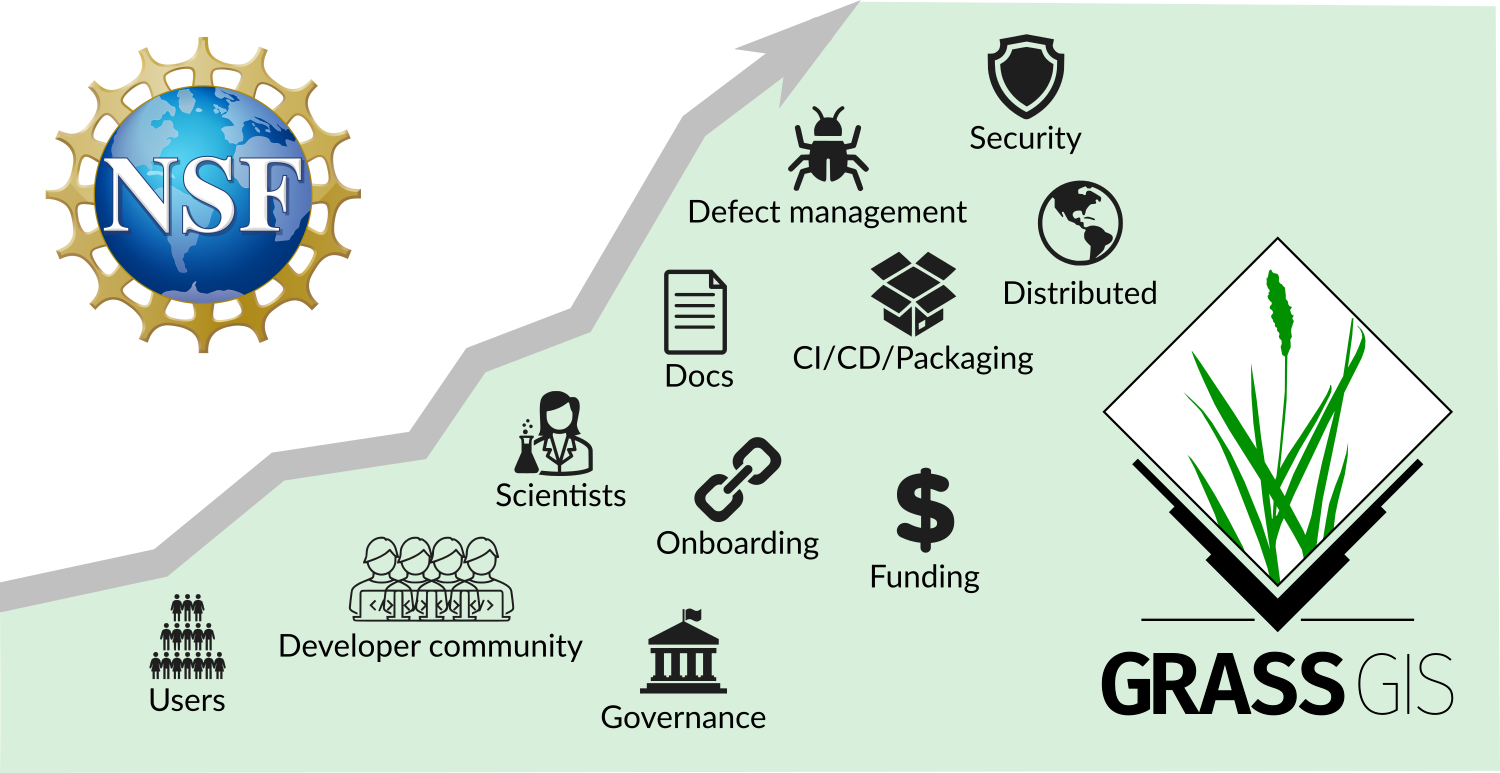
A team of researchers from four U.S. universities was awarded a prestigious grant from the U.S. National Science Foundation (NSF) to bolster and broaden the community and ecosystem of GRASS GIS. The grant is led by Helena Mitasova, Vaclav Petras, and Anna Petrasova at North Carolina State University with subawards going to Michael Barton (Arizona State University), Huidae Cho (New Mexico State University), and Giuseppe Amatulli (Yale University). Have a look at the project 1st quarter report and timeline.
Caitlin Haedrich and Helena Mitasova received a small exploratory grant from NC State University to enhance teaching of an open-educational-resources course on Geospatial Modeling and Analysis currently led by Corey White.

In April Veronica Andreo visited NC State University as a researcher and GRASS PSC Chair giving a lecture and a studio on leveraging remote sensing in public health, and highlighting use of GRASS GIS in her research. The visit also resulted in a news article How Open Science Can Both Advance and Hinder Equity in Research which featured GRASS GIS and part of Vero’s story of involvement with the project.
NC State also hosted a GIS week event in November featuring Big Data Computing with GRASS GIS workshop by Anna Petrasova and Vaclav Petras.
In June, Michael Barton gave a GRASS GIS workshop to the IT group at the German Archaeological Institute (DAI) in Berlin and in the fall, Michael was teaching a graduate/undergraduate course on Spatial Technologies for Anthropological Research using GRASS GIS at Arizona State University School of Human Evolution & Social Change.
In September, Veronica Andreo taught a postgraduate course at the University of Córdoba in Argentina, with focus on satellite images and time series data processing and analysis in GRASS GIS. All the course materials are in Spanish. As a result, one of the course students created two addon toolsets which are now under review to work with Synthetic Aperture Radar (SAR) data in GRASS GIS.
Many new manuscripts using GRASS GIS were published by various authors. Check out GRASS GIS Google Scholar profile, and see around 30 new records from 2023!
GRASS GIS in Government

To support the use of their elevation dataset, the U.S. Geological Survey (USGS) released a training video on using GRASS GIS with 3D Elevation Program (3DEP) data.
NC State University team led by Helena Mitasova, Vaclav Petras, and Anna Petrasova received research support through US Department of Agriculture Natural Resources Conservation Service which includes development of new and enhancement of existing GRASS modules to incorporate dynamic soil survey data into surface water modeling tools.
Congratulations everyone on a great year!! And welcome new contributors!
Anna Petrasova (North Carolina State University),
Vaclav (Vashek) Petras (North Carolina State University)
with input from the community